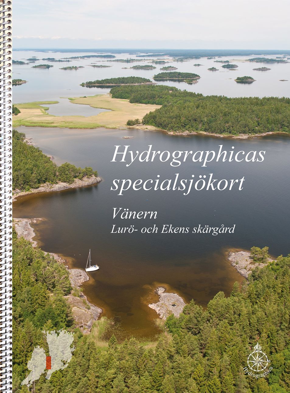
133-20 Vänern – Lurö och Ekens skärgård
SKU : B13320H
Special nautical chart | Format: A3 (29.7×42.0cm) ring-bound | 24 pages | Scale 1:10,000 | New
This special boating chart at a scale of 1:10,000 covers the shallow and difficult-to-navigate areas of the Lurö and Eken archipelagos in central Lake Vänern between Värmlandsnäs and Kållandsö. The sea surveys in the Lurö archipelago are mostly made with new and very accurate laser technology. Our current sea charts of Läckö, Billingsön and Naven are replaced by this boating chart, but the chart area has been expanded and the entire area has been thoroughly reviewed based on new high-resolution aerial imagery and supplementary echo sounder measurements in 2022.
Hydrographica produces detailed special nautical charts for difficult-to-navigate areas where official charts are inadequate. They contain significantly more and more accurate depth information, have detailed depth curves for 2 and 3 meters respectively and have elevation curves on land. The special nautical charts have a scale of 1:10,000 and are printed on Polyart, a synthetic, highly tear-resistant polyester material with a paper-like feel, made for boating use. The charts are completely waterproof and oil-resistant, printable, easy to wipe clean. But, like regular nautical charts, the material is affected and the colors fade if they are constantly exposed to sunlight.
76 in stock