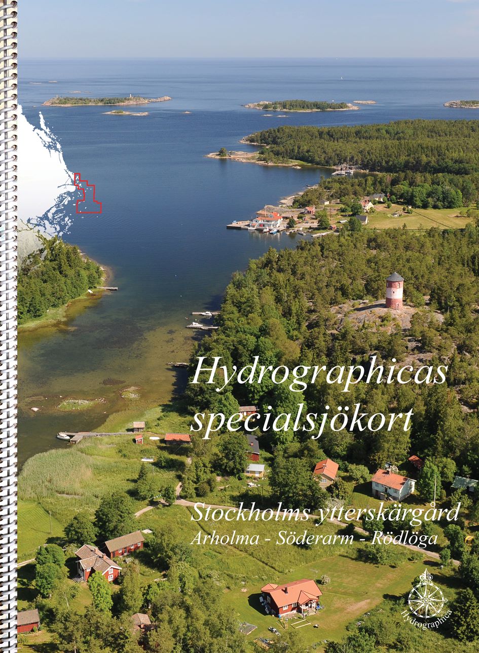
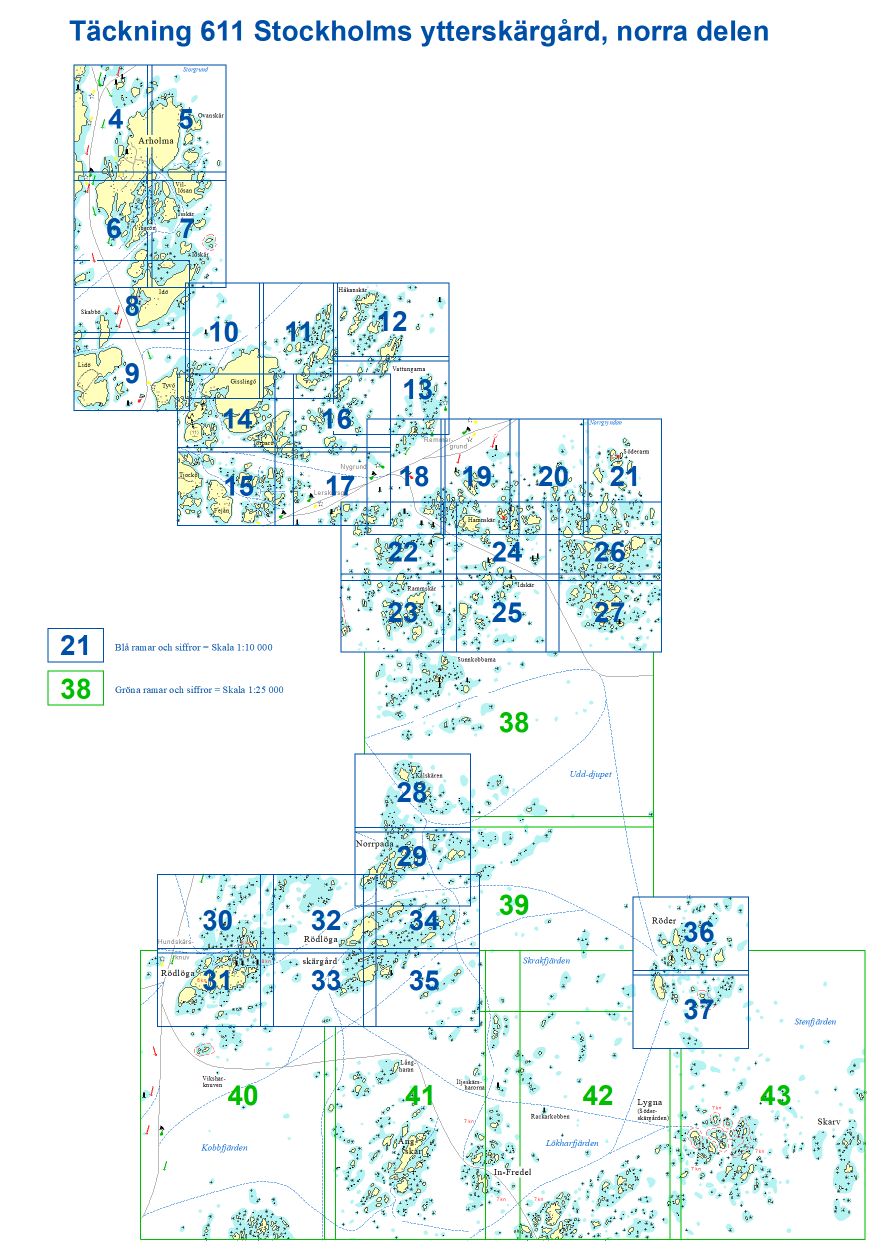
611 Stockholms ytterskärgård norra delen
SKU : B61100H
Special nautical chart | Format: A3 (29.7×42.0cm) ring-bound | 46 pages | Scale 1:10,000
In the Stockholm archipelago there are now four special boating charts covering the most popular areas for recreational boaters. 611 Stockholm far north covers the area from Arholma down to the Söderarms archipelago as well as Norrpada-Rödlöga-Rödlöga Storskär and Röder at a scale of 1:10,000. The open waters between these areas are covered by nautical charts at a scale of 1:25,000.
The scale of the special boat sports chart is 1:10,000 and 1:25,000, and like all our special nautical charts, it contains 2- and 3-meter depth curves, accurate depth information and land topography. The special boat sports charts are ring-bound in A3 format according to the same principle as the Swedish Maritime Administration’s series of Boat Sports Charts. The material of Hydrographica’s special boat sports charts is Polyart, a synthetic polyester material with a paper feel. They are waterproof and oil-resistant, writable and easy to wipe clean. But, like regular nautical charts, the material is affected and the colors fade if they are constantly exposed to sunlight.