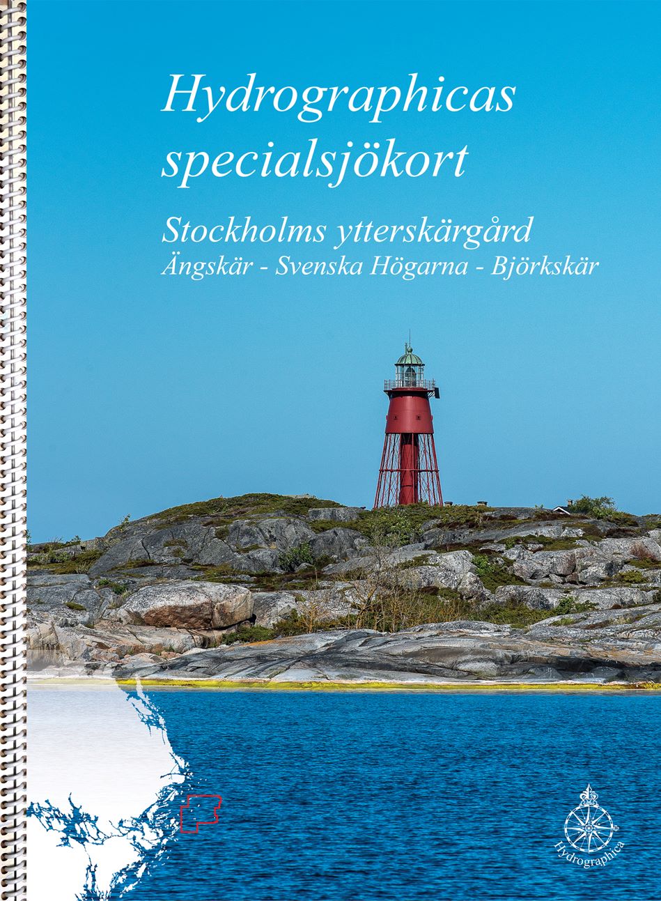
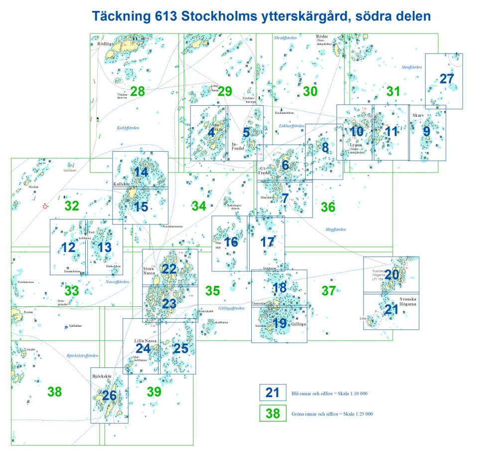
613 Stockholms ytterskärgård södra delen
SKU : B61300H
Special nautical chart | Format: A3 (29.7×42.0cm) ring-bound | 42 pages | Scale 1:10,000
In the Stockholm archipelago, there are now four special boating cards that cover the most popular areas for recreational boaters. 613 Stockholm outer south covers the area Ängskär – Svenska Högarna – Björkskär at a scale of 1:10,000. The open waters between these areas are covered by nautical charts at a scale of 1:25,000.
The scale of the special small-craft chart is 1:10,000 and 1:25,000; like all our special nautical charts, it features 2- and 3-meter depth contours, precise depth data, and land topography. The special boating cards are ring-bound in A3 format according to the same principle as the Swedish Maritime Administration’s series of Boating Cards. The material used in Hydrographica’s special boating cards is Polyart, a synthetic polyester material with a paper feel. They are water and oil resistant, writable and easy to wipe off. But, like regular nautical charts, the material is affected and the colors fade if they are constantly exposed to sunlight.