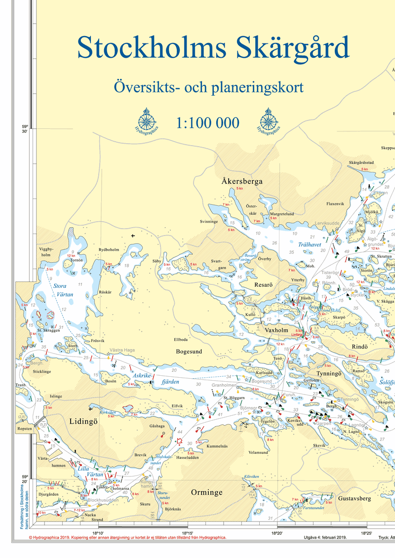
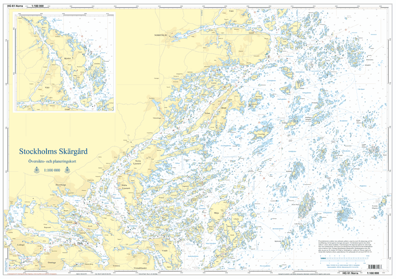
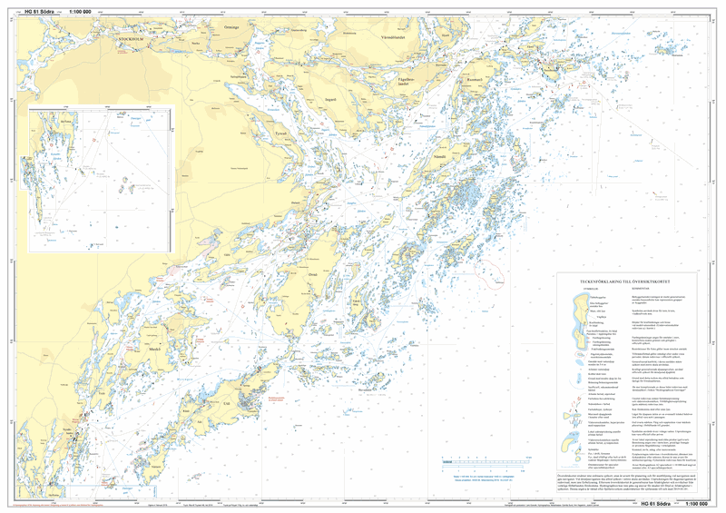
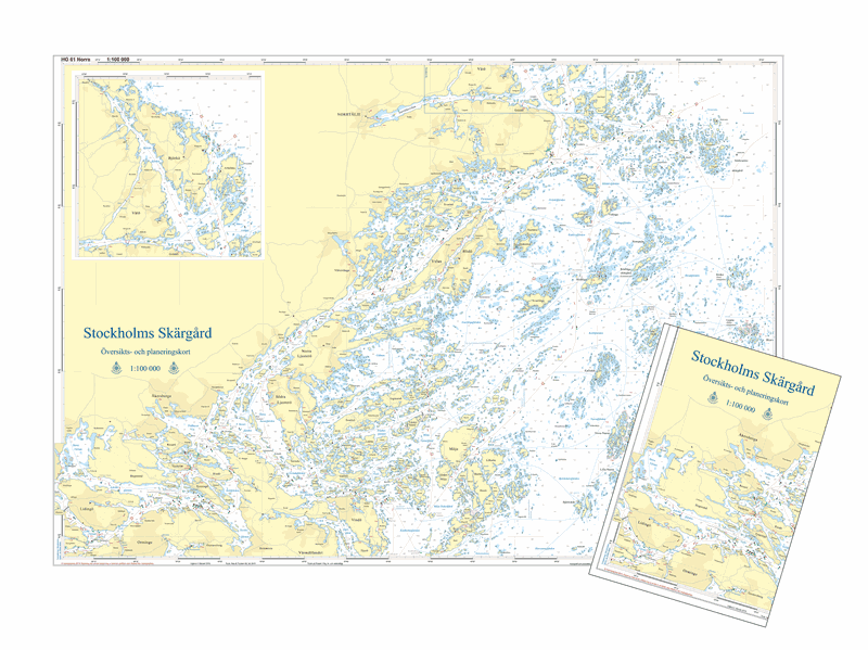
HG61 Stockholms skärgård
SKU : Ö61000V
Overview card | Format: A1 (59.4×84.1cm) | Scale 1:100,000
Översiktskortet är i skalan 1:100 000 och är tryckt i dubbelsidigt A1-format, 59,4 x 84,1 cm, och levereras nedvikt till A4-format eller som plano/ovikt i rulle.
Det passar utmärkt för planering och medföljning vid navigation med plotter. It does not replace regular nautical charts but contains all the information needed quickly for daytime navigation, for example if the technology fails. In addition, the card is printed on a tear- and water-resistant synthetic material that can withstand use on board an open boat. It is also possible to write with a soft pencil on the map and erase.
All markings are included in the chart, with a few exceptions. In densely marked areas, not all markings can be reported, where boating maps/charts on a larger scale are required. The depth curves circle the water areas where you need to be extra vigilant and pull out larger-scale charts or take a closer look at the plotter.