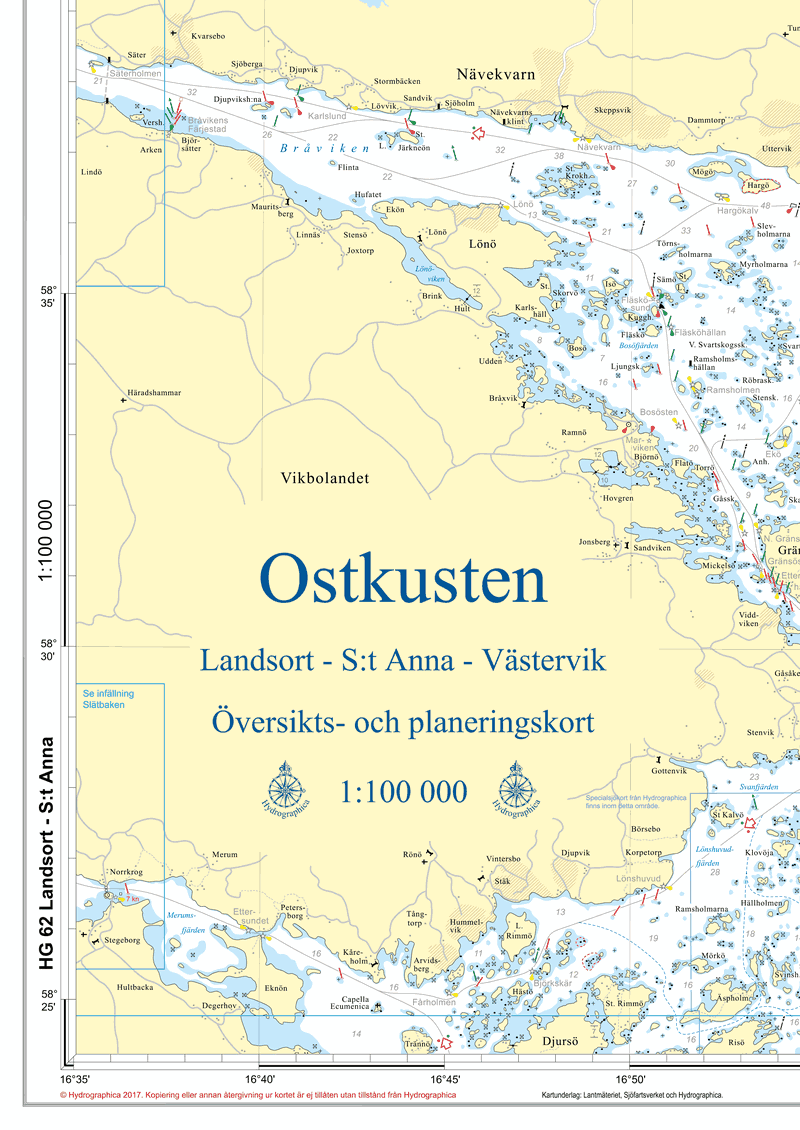
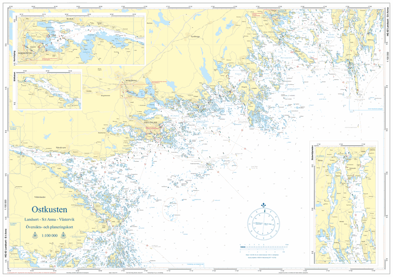
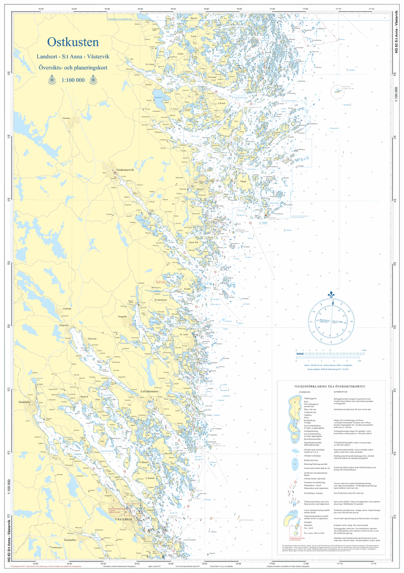
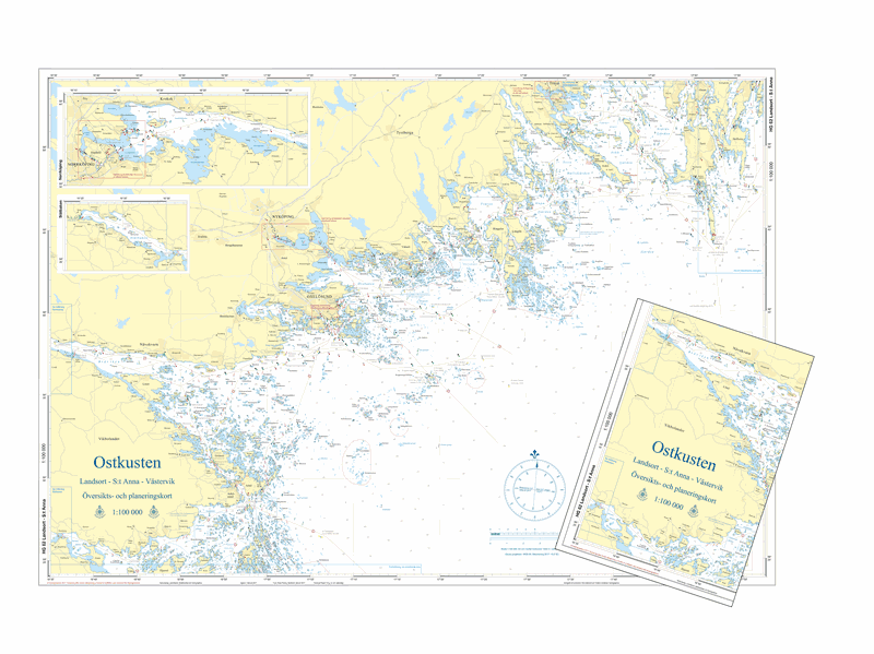
HG62 Ostkusten
SKU : Ö62000V
Overview card | Format: A1 (59.4×84.1cm) | Scale 1:100,000
The overview card is on a scale of 1:100,000 and is printed in double-sided A1 format, 59.4×84.1 cm, and is delivered folded down to A4 format or as flat/unfolded in a roll.
It is perfectly suited for planning and tracking when navigating with a plotter. It does not replace regular nautical charts but contains all the information needed quickly for daytime navigation, for example if the technology fails. In addition, the card is printed on a tear- and water-resistant synthetic material that can withstand use on board an open boat. It is also possible to write with a soft pencil on the map and erase.
All markings are included in the chart, with a few exceptions. In densely marked areas, not all markings can be reported, where boating maps/charts on a larger scale are required. The depth curves circle the water areas where you need to be extra vigilant and pull out larger-scale charts or take a closer look at the plotter.