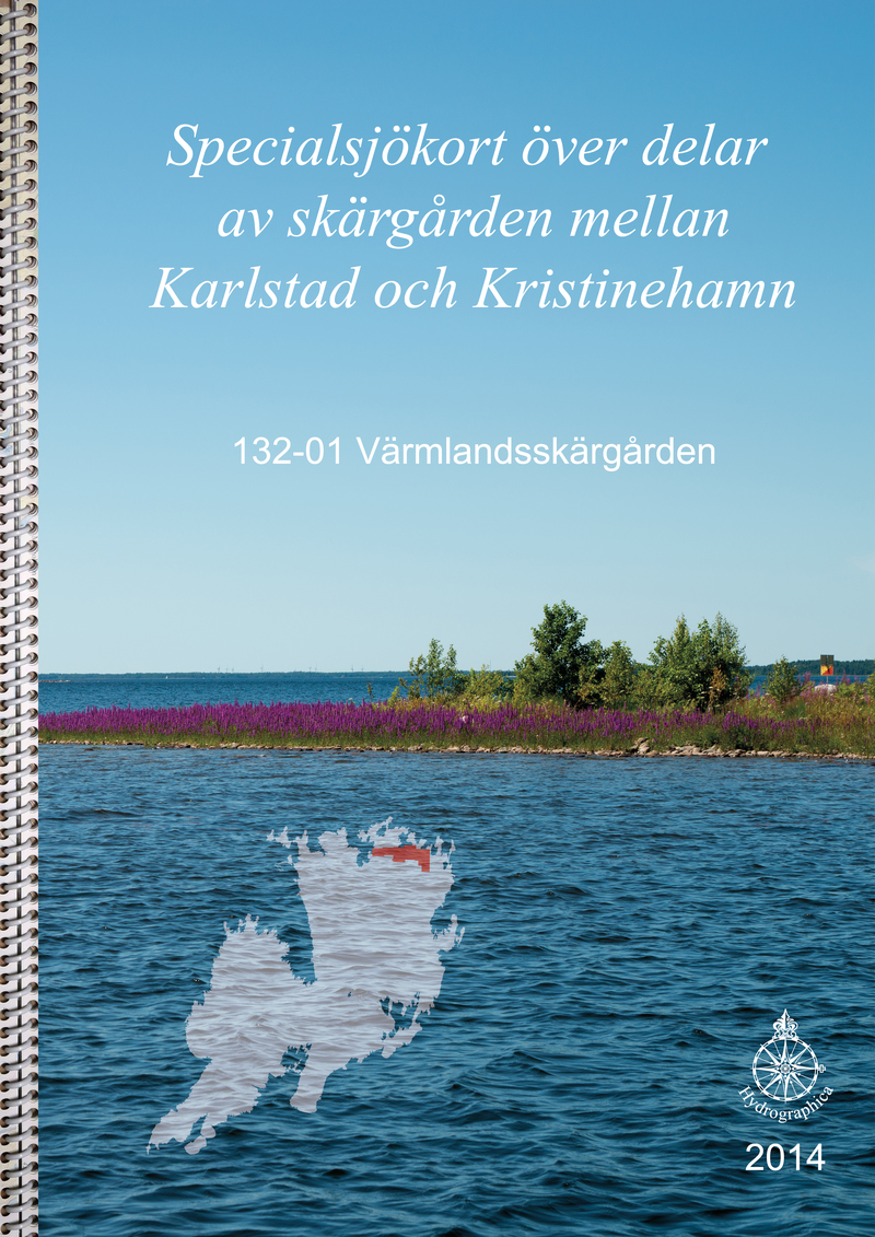
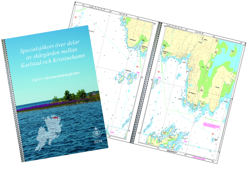
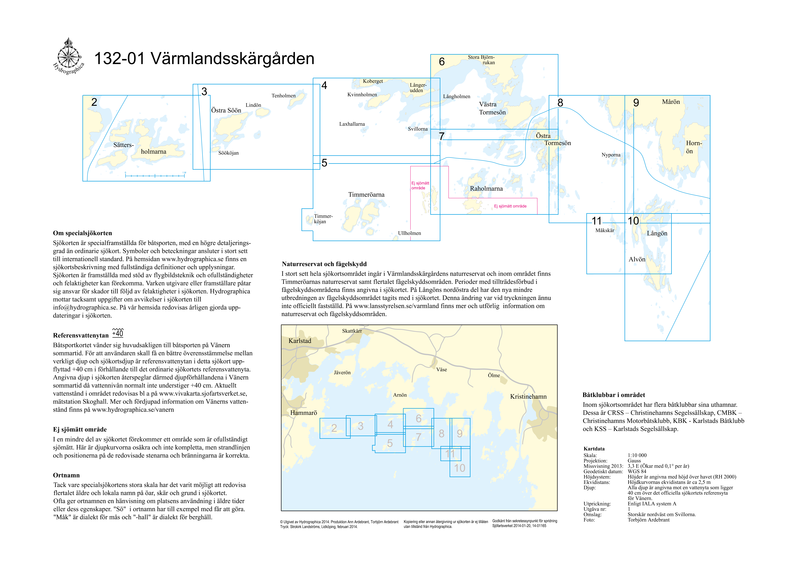
132-01 Värmlandsskärgården
SKU : B13201H
Special nautical chart | Format: A3 (29.7×42.0cm) ring-bound | 12 pages | Scale 1:10,000
Hydrographica produces detailed special nautical charts at a scale of 1:10,000 over difficult-to-navigate areas where official nautical charts are inadequate. They contain significantly more and more accurate depth information, have detailed depth curves for 2 and 3 meters respectively and have elevation curves on land. The charts are made at a scale of 1:10,000, and are produced by processing current aerial photographs supplemented with extensive field measurements. The special boating map for the Värmland archipelago is in A3 format and printed on coated paper.